Hyderabad, India
| V・T・E |
| latitude: 17.3884, longitude: 78.4664 boundary: 72559867255986, label: 245640543245640543 |
| Browse map of Hyderabad ((te)హైదరాబాదు, (ur)حیدرآباد) 17°23′18.24″ N, 78°27′59.04″ E |
| Edit map |
 |
|
External links:
|
| Use this template for your city |
Hyderabad ((te)హైదరాబాదు, (ur)حیدرآباد) is a city in Telangana, India at latitude 17°23′18.24″ North, longitude 78°27′59.04″ East.
Officially 4.89 million inhabitants.
OSM coverage
Good.
Todos
Things that cannot be mapped from Yahoo Aerial and require local users:
- street names and correct highway types and restrictions (maxspeed, oneway)
- residential streets
- mayor public buildings
- points of interest
- landuse
- expansion of mapped area
- Rajiv Gandhi International Airport
History
 September 30, 2009
 February 27, 2009
 December 19, 2008
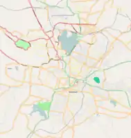 December 04, 2008
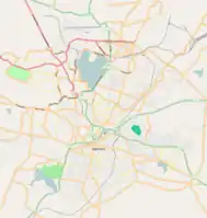 November 20, 2008
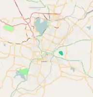 November 12, 2008
 November 07, 2008
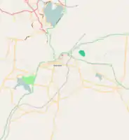 October 31, 2008
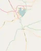 October 20, 2008
This article is issued from Openstreetmap. The text is licensed under Creative Commons - Attribution - Sharealike. Additional terms may apply for the media files.